Why You Should Care About Glen Canyon Dam in Page, Arizona

|
| Glen Canyon Dam |
On paper, modern U.S. Sun Belt metropolises like L.A., Las Vegas, Phoenix, Denver, and Albuquerque shouldn’t exist. They simply don’t have enough water nearby to support their populations of millions of people—or their agricultural industries beyond city limits. It’s the Colorado River, hundreds of miles away, that allows them to survive in the desert Southwest today.
A plumbing system spanning half the continent stores this river’s water between tall canyon walls, delivers its under entire mountain ranges, and even pumps it uphill all to supplement the water supplies of major cities and farmlands in California, Colorado, Arizona, and more.
Stand at the foot of Glen Canyon Dam on the border of Arizona and Utah, and you’ll come face to face with the linchpin of modern civilization in the desert.

|
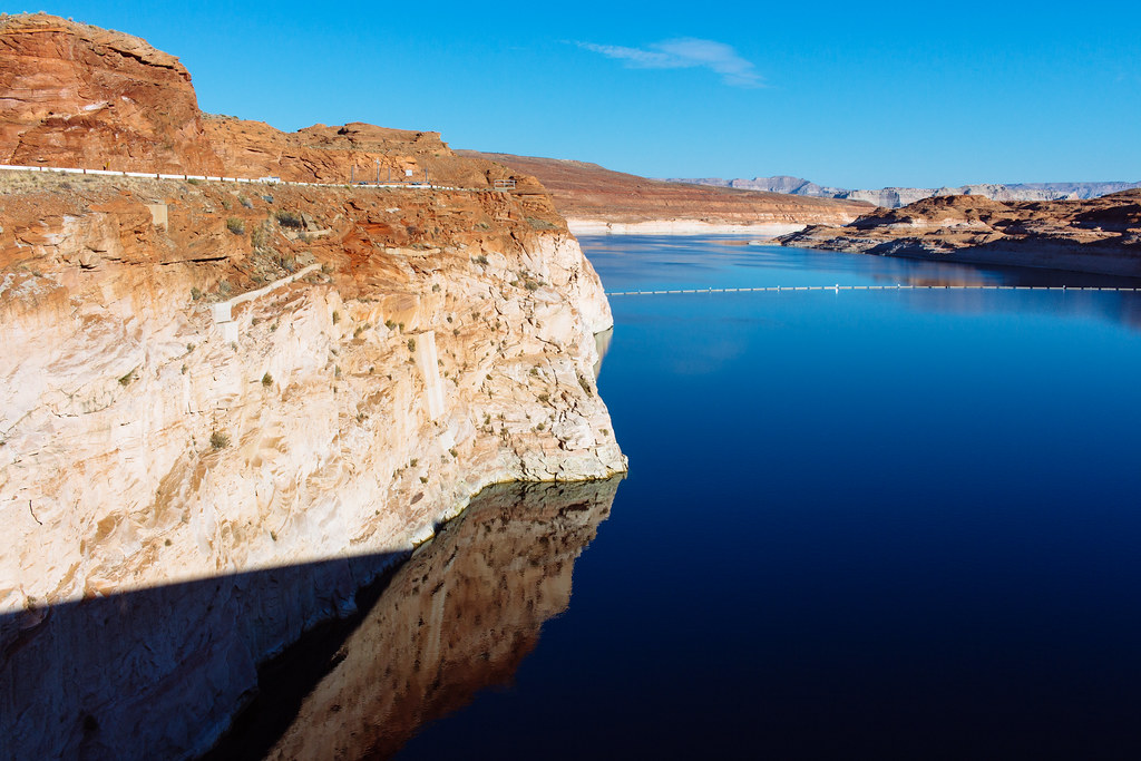
| The “bathtub” ring representing the high-water point decades ago |
This dam lets Colorado, New Mexico, Utah, and Wyoming in the “Upper Basin” of the Colorado River store water in Lake Powell for the “Lower Basin” states of Arizona, California, and Nevada. Each basin is allotted half of the river’s annual output, according to a treaty between these seven states, so Glen Canyon Dam makes sure each basin gets their fair share.
The Colorado River is overwhelmingly used to irrigate farmland—beef and dairy production alone use 50% of its water—but it also supplies much of the drinking water in Phoenix and L.A. via immense aqueducts spanning the desert.
Lake Powell, stored here at Glen Canyon, almost spilled over the dam in the ’80s, but two decades of longterm drought due to climate change have brought it close to “deadpool”—the point at which the dam won’t even be able to generate hydropower electricity.

|
| Hydroelectric power generators |
Glen Canyon Dam radically transformed this part of the Colorado Plateau when it was built: turning the river through the Grand Canyon cold and blue from its original sediment-rich ruddy color, drowning lush Glen Canyon and forming the fingers of Lake Powell, and making Rainbow Bridge accessible to more than just backpackers.
Environmental activists fought in vain to save the paradise that was Glen Canyon in the ’60s, but the canyon is being revealed to human eyes once again as lake levels plummet, and there are even serious proposals to “Fill Mead First” as Lake Mead outside Las Vegas is also seriously low.
Climate change is opening (revealing?) cracks in the foundation the modern world is built on. And any of the changes to come will pass through Glen Canyon Dam.

|
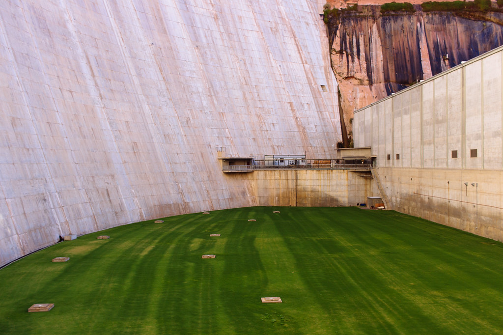
| The lawn at the bottom |
Further reading
- Martin, Russell. A Story that Stands Like a Dam: Glen Canyon and the Struggle for the Soul of the West. Salt Lake City, Utah: University of Utah Press, 2017.
- Reisner, Marc. Cadillac Desert: The American West and Its Disappearing Water. Revised edition. New York: Penguin Books, 1993.
- Runyon, Luke. “Hydropower Worries Grow As Colorado River Reservoirs Keep Dropping.” Science Friday online. July 14, 2021.
 |
| View from the lookout point |
How to get there
You can find Glen Canyon Dam outside Page, Arizona, just south of the Utah border. The visitor center is on the western rim of the canyon, so you’ll have to cross over Glen Canyon Dam Bridge if you’re coming from Page via U.S. Highway 89. Double-check with the U.S. Bureau of Reclamation to see if they are leading tours of the dam again.
A few miles downstream, there’s also a lookout point operated by the National Park Service. From U.S. 89, turn onto Scenic View Road (by the Denny’s and some chain hotels), then onto Overlook Road. A shade structure will be at the end of a short hike across the sandstone.