Photo Post: Walnut Canyon National Monument in Flagstaff, Arizona

|
|
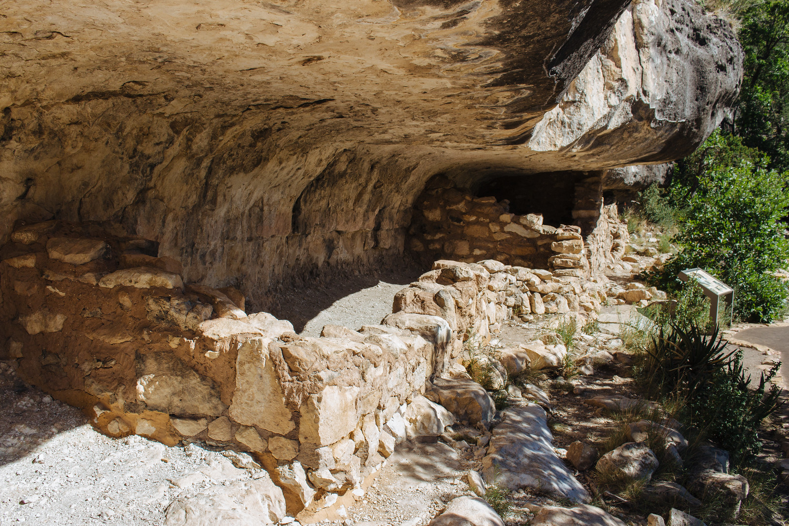
Cliff dwellings |
It’s 4:00 p.m. and I’m in a race against time: after having driven through Wupatki and Sunset Crater Volcano national monuments earlier in the day, I’ve got just one hour to visit the last of the Flagstaff-area monuments before closing time.
The park ranger at the front desk lets me continue through the visitor center after I display my annual parks pass, and once I’m back outside, I quickly descend a steep set of stairs while managing to not fall off the cliffside of Walnut Canyon National Monument. Just 185 vertical feet later, and I’ve made it down to the trail that loops around an “island” floating above a meander of Walnut Canyon.

|
|
Walnut Canyon |
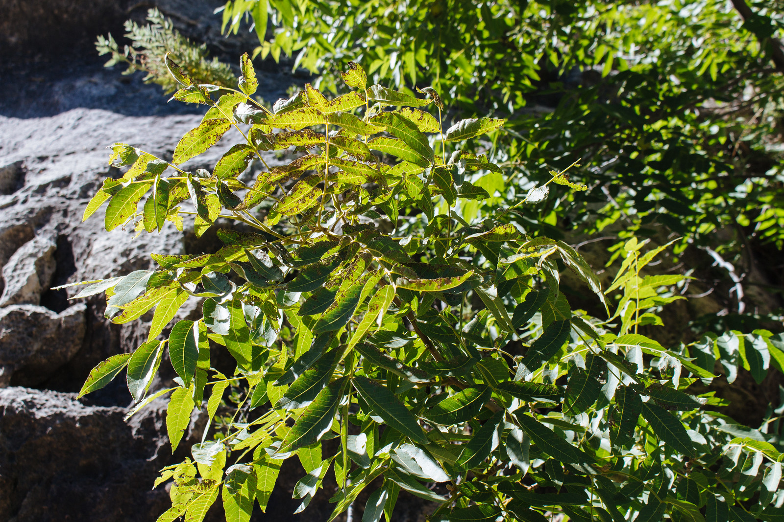
Walnut trees grow all over the canyon, as I expected. But what what makes me slow down and stop is seeing prickly pear cactus and yucca plants on the south face of the canyon walls, with rugged pinyon and ponderosa pines taking their place on the shadier sides. It’s almost as if I’m still back at home in Phoenix!
No fewer than eight sets of cliff dwelling ruins join the yucca and pines along the trail, impossibly perched on these canyon walls. Even more ruins extend into the canyon in either direction, and it feels like seeing a neighbor’s house or apartment on the other side of the street.
I marvel at their strategic, protected location beneath eroded-away layers of limestone and ponder how difficult it must have been to reach them from the rim above—or Walnut Creek below.

|
|
Walnut tree leaves |
As was the case with Wupatki National Monument just north of here, the former inhabitants of Walnut Canyon didn’t just mysteriously disappear.
The people who archaeologists refer to as “Sinagua” for their ability to farm corn, beans, and squash “without [much] water” simply moved on as they had done many times in the past, ultimately joining the Hopi who still live in northeast Arizona today. Simply put: they’re still here.
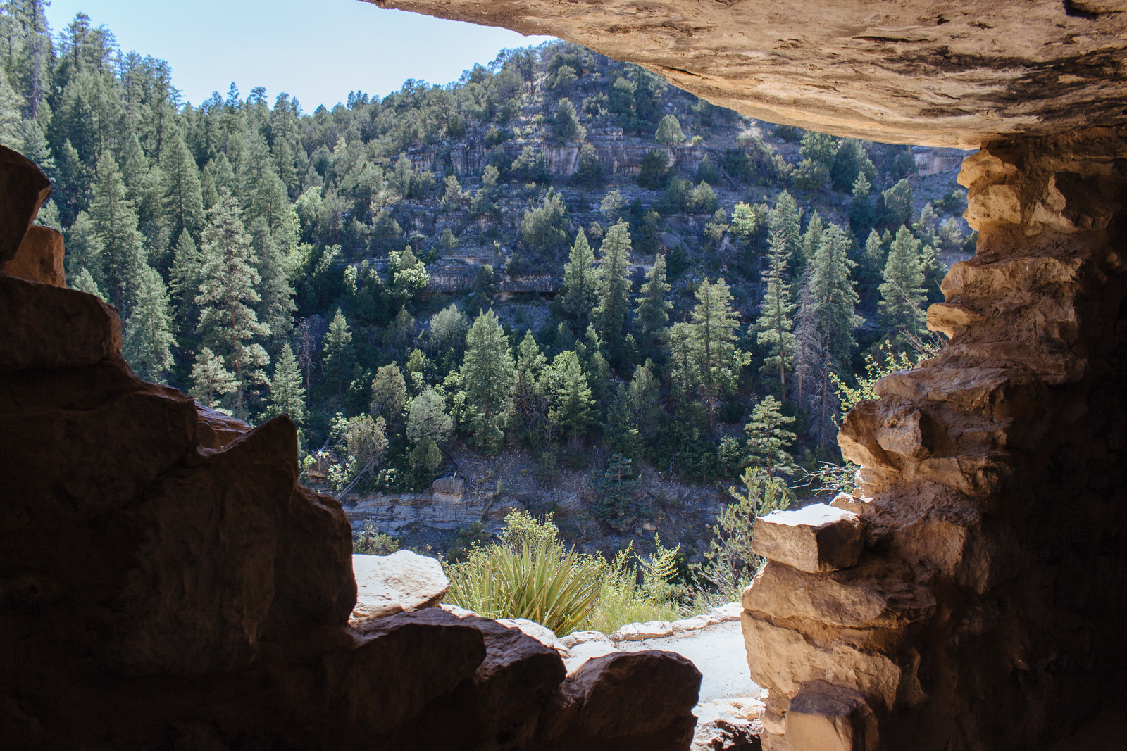
As I peer down into the canyon floor, I can see massive sandstone formations dozens of feet thick. These petrified sand dunes shifted across seashores in what is now Arizona millions of years ago, and today, they have been revealed by the very same forces that once created them: wind and rain.

|
|
Looking out at the canyon walls |
As I peer down into the canyon floor, I can see massive sandstone formations dozens of feet thick. These petrified sand dunes shifted across seashores in what is now Arizona millions of years ago, and today, they have been revealed by the very same forces that once created them: wind and rain.
It’s getting close to 5:00 p.m., so I start my hike up to the canyon rim and make it back to my car before they start closing the park down. Perhaps I was in a race against time, but I’m grateful that time has preserved these ruins for 900 years and these sand dunes for 275 million years.

|
| Petrified sand dunes in Walnut Canyon |
How to get there
You can reach Walnut Canyon National Monument by driving a few minutes east of Flagstaff, Arizona, along Interstate 40 and taking exit 204. Head south on Walnut Canyon Road until you reach the park.Alternatively, you can also follow Historic Route 66 east of town, which turns into Walnut Canyon Road after it crosses the BNSF train tracks and I-40.